Print
Print
 PDF
PDF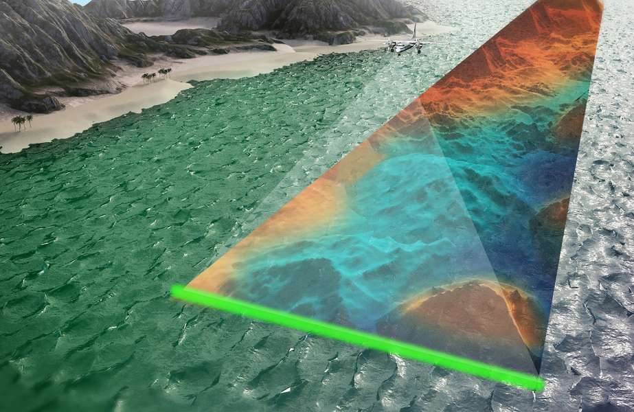
The General Authority for Survey and Geospatial Information (GEOSA) has awarded geo-data specialist, Fugro, a contract to conduct a comprehensive survey of Saudi Arabia’s eastern coastline, covering an area of over 11,000 km², with the primary objective of improving the safety and efficiency of shipping navigation.
Fugro will deploy a combination of Airborne Lidar Bathymetry (ALB), vessel-based acoustic methods and advanced processing techniques to acquire and analyse geo-data in compliance with International Hydrographic Organisation (IHO) standards. These technologies will be deployed by a team of international hydrographic experts, including those with prior experience working on GEOSA contracts.
Fugro will partner with IIC Technologies, a specialist in nautical chart creation, to develop the final project, continuing a long track record of working together.
Marco Filippone, Solution Director, Hydrography, at Fugro said: “We are honoured to play a pivotal role in enhancing the safety and efficiency of shipping navigation along Saudi Arabia’s eastern coastline. By utilizing our cutting-edge hydrographic technologies, we are committed to delivering rapid and reliable data in compliance with international standards. This project is a testament to our long-standing relationship with GEOSA and global track record in delivering high-speed hydrographic surveys.”